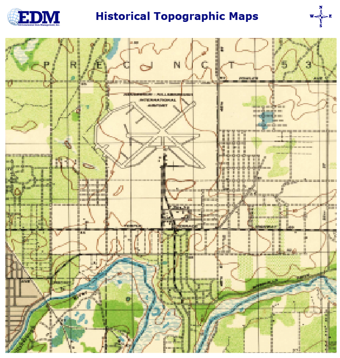
Full USGS 7.5 Minute Quadrangle Images in a PDF document
Maps available back to the 1940’s or 1950’s
Price is for each Quadrangle requested
Same Day Service!
Fields marked with * are required.
Full USGS 7.5 Minute Quadrangle Images in a PDF document
Maps available back to the 1940’s or 1950’s
Price is for each Quadrangle requested
Same Day Service!
Fields marked with * are required.
$25.00
Historical Topographic Maps can be used to assess land use changes on your property and surrounding area over extended periods of time. Most of our coverage area has maps available back to the 1940’s and 1950’s.
EDM’s Historical Topographic Map Report is a compilation of all available USGS 7.5 Minute Quadrangle Images in a PDF document for a particular Quadrangle. Price is for each Quadrangle requested.