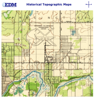
Description
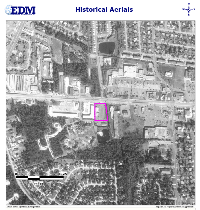
Historical Aerial Photographs can be used to assess land use changes on your property and surrounding area over extended periods of time. Most of our coverage areas have photos available dating back to the 1940’s and in some cases to the 1930’s. Our report provides photos at approximately ten-year intervals with one photo per decade, when available. More frequent coverage is available upon request!
EDM’s Historical Aerial Photograph images are adjusted so that each map is at the same approximate scale, making it easier to note changes in historical land use. The Subject Property boundaries are clearly displayed and our images attempt to provide an approximate 1/2 mile radius around the Subject Property. The report is emailed as a PDF document and will be available within 24-36 Hours.
$100 when ordered with our Basic or Standard Research Reports!


