Description
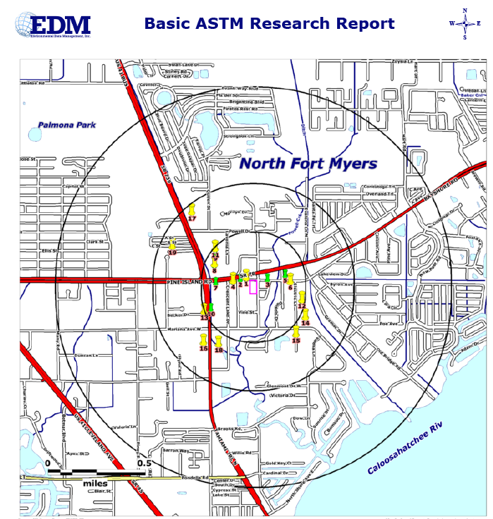
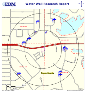
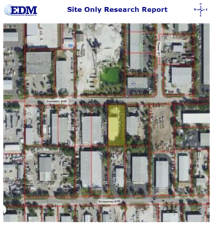
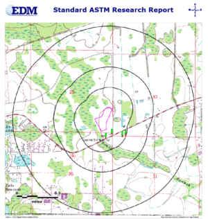
Our Basic ASTM Research Report meets and exceeds the ASTM E1527-13 guidelines for identifying Regulated Sites out to a 1/4, 1/2 and 1 Mile Radius from the Subject Property. Street Maps and 1 Meter resolution Aerial Photography are used to display the location of the Subject Property and those Regulated Sites meeting our search criteria.
Regulated Sites are displayed on the maps using Color Coded and Numbered Symbols. A Summary Table of identified sites is provided showing the Site Number, Site Name and Address, Agency Listing and Distance/Direction from the Subject Property. Detailed Data for each site is provided in User friendly and Formatted Reports. Bookmarks and Hyperlinks are provided for easy navigation within the report and to provide access to outside sources of additional information.
Our Proximal Sites Summary Table is also included and lists Regulated Sites in the general area, that may be of concern, but fall outside of the search radii criteria that would provide detailed reporting.
Our Non-Mapped Summary Table lists sites that could not be plotted within our mapping system due to poor location information


