Description
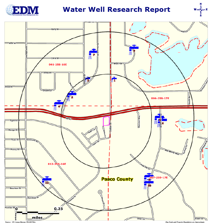
Our Water Well Research Report is based upon a search of available Florida Water Management District data, Florida Department of Health data and Florida DEP data. If the data contains location information for the well, the data is searched up to 1/4 Mile from the Subject Property for Private Wells and up to 1/2 Mile for Public Wells. A Street Map and Elevation Contour Map are used to display the location of the Subject Property and those Well locations meeting our search criteria.
The Well locations are displayed on the maps using Color Coded and Numbered Symbols. A Summary Table of identified sites is provided showing the Site Number, Site Name and Address, Agency Listing and Distance/Direction from the Subject Property. Detailed Data for each site is provided in User friendly and Formatted Reports.


